Simplified submission of civic issues will reduce friction for users to submit issues to local authorities or partners to work on for resolution. Towards that, we have identified 2 areas of potential reduction of friction
location shared should handle conversion of an address or lat-long to ward and relevant administrative boundaries
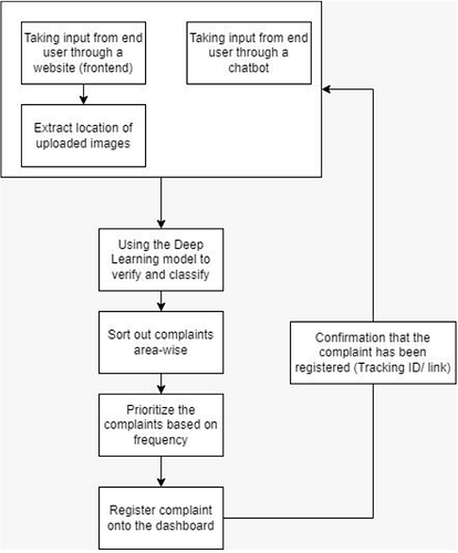
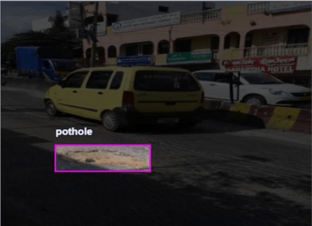
Images submitted should auto classify the category and subcategory (if possible). This will reduce number of inputs submitted by the user. There are 2 modes we can collect images - which we feel are worth investigating.
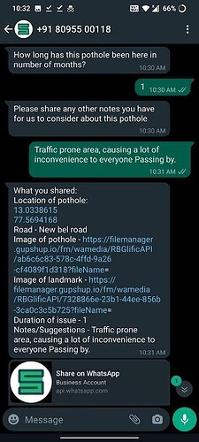
A chatbot collects images one by one using a flow - user uploads images and its location one by one OR
Bulk uploads a set of images with embedded location data so that the backend extracts and auto loads in the google sheet for cleaning and on the map in real time
Future information flow
This model will be then trained to classify the civic issue reported as well,i.e it will take the user input and segregate into the group which it belongs to,like garbage dumps etc.
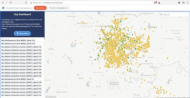
These reported civic issues once verified and segregated will be then grouped area wise and pinned onto the dashboard. The frequency of reports for an area will also be calculated which will help to determine the severity of issues among areas. Details of the civic issue can then be forwarded to the local NGOs or a government agency depending on the issue and its severity based on available partnerships. The open map here will help surface issues till a partnership is struck.
The citizen will then get a tracking link with the details pertaining to the complaint, i.e whether the authorities have been informed or the issue has been resolved, along with the confirmation email/message that their complaint has been received and is being actively worked on.
Link to the dashboard :
http://bengaluru.solveninja.org/ (keyword - pothole)
Snapshot of the dashboard -
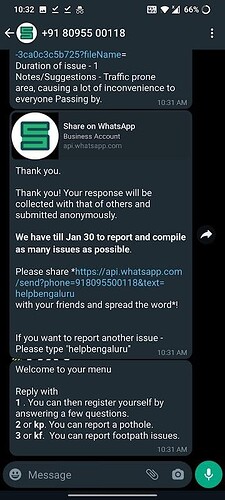
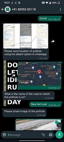
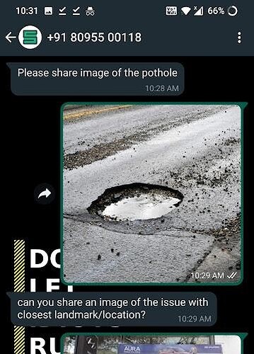
Whatsapp chat bot details - +91 80955 00118
Snapshot of chatbot -
